Skaupsjøen
Tools
Actions
General
Print/export
In other projects
Appearance
From Wikipedia, the free encyclopedia
Lake in Eidfjord, Norway
| Skaupsjøen | |
|---|---|
| Location | Eidfjord, Vestland and Nore og Uvdal, Buskerud |
| Coordinates | 60°20′48″N 7°41′34″E / 60.3467°N 7.6928°E / 60.3467; 7.6928 |
| Basin countries | Norway |
| Max. length | 5 kilometres (3.1 mi) |
| Max. width | 1 kilometre (0.62 mi) |
| Surface area | 2.88 km2 (1.11 sq mi) |
| Shore length1 | 26.24 kilometres (16.30 mi) |
| Surface elevation | 1,158 metres (3,799 ft) |
| References | NVE |
| 1 Shore length is not a well-defined measure. | |
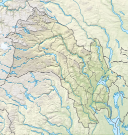
Skaupsjøen is a lake in the municipalities of Eidfjord in Vestland county and Nore og Uvdal in Buskerud county, Norway.[1] The 2.88-square-kilometre (1.11 sq mi) lake lies just north of the Hardangervidda National Park on the vast Hardangervidda plateau. The lake outflows to the river Skaupa, which flows into the larger lake Halnefjorden to the northeast. The nearest road access is the Norwegian National Road 7, which passes about 5 kilometres (3.1 mi) northwest of the lake.
See also
[edit]References
[edit]- ^ "Skaupsjøen, Nore og Uvdal (Buskerud)" (in Norwegian). yr.no. Retrieved 2014-05-31.
Hidden categories:
- Pages using gadget WikiMiniAtlas
- CS1 Norwegian-language sources (no)
- Articles with short description
- Short description matches Wikidata
- Coordinates on Wikidata
- Articles using infobox body of water without image
- Articles using infobox body of water without pushpin map alt
- Articles using infobox body of water without image bathymetry
- All stub articles


