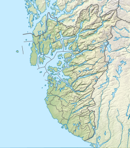
Aksdalsvatnet
Tools
Actions
General
Print/export
In other projects
Appearance
From Wikipedia, the free encyclopedia
Lake in Norway
| Aksdalsvatnet | |
|---|---|
 | |
| Location | Tysvær (Rogaland) |
| Coordinates | 59°24′42″N 5°25′20″E / 59.41167°N 5.42222°E / 59.41167; 5.42222 |
| Basin countries | Norway |
| Max. length | 3 kilometres (1.9 mi) |
| Max. width | 2 kilometres (1.2 mi) |
| Surface area | 3.46 km2 (1.34 sq mi) |
| Shore length1 | 15.53 kilometres (9.65 mi) |
| Surface elevation | 18 metres (59 ft) |
| References | NVE |
| 1 Shore length is not a well-defined measure. | |
Aksdalsvatnet is a lake in the municipality of Tysvær in Rogaland county, Norway. The 3.46-square-kilometre (1.34 sq mi) lake lies southeast of the village of Førre and south of the village of Aksdal. The European route E134 highway runs along the northern shore of the lake and the European route E39 highway along the eastern shore of the lake.[1]
See also
[edit]References
[edit]- ^ Store norske leksikon. "Tysvær" (in Norwegian). Retrieved 2015-08-26.
Hidden categories:
- Pages using gadget WikiMiniAtlas
- CS1 Norwegian-language sources (no)
- Articles with short description
- Short description matches Wikidata
- Coordinates on Wikidata
- Articles using infobox body of water without alt
- Articles using infobox body of water without pushpin map alt
- Articles using infobox body of water without image bathymetry
- All stub articles


