Flassavatnet
Appearance
| Flassavatnet | |
|---|---|
| Location | Gjesdal and Sandnes, Rogaland |
| Coordinates | 58°47′21″N 5°52′08″E / 58.7892°N 5.8688°E |
| Basin countries | Norway |
| Max. length | 1.4 kilometres (0.87 mi) |
| Max. width | 1.4 kilometres (0.87 mi) |
| Surface area | 0.9243 km2 (0.3569 sq mi) |
| Surface elevation | 177 metres (581 ft) |
| Islands | 1 island (Holmen) and several islets |
| References | NVE |
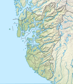
Flassavatnet is a lake in Rogaland county, Norway.[1] The lake lies on the border of the municipalities of Gjesdal and Sandnes. The 0.9243-square-kilometre (0.3569 sq mi) lake sits about 1 kilometre (0.62 mi) north of the large village of Ålgård, not far north of the lakes Edlandsvatnet and Limavatnet. The lake is a reservoir with a small dam on the southern edge of the lake. The water level is kept at about 177 metres (581 ft) above sea level. The reservoir holds about 900,000 cubic metres (730 acre⋅ft; 1,200,000 cu yd).[2]
See also
[edit]References
[edit]- ^ "Flassavatnet, Gjesdal (Rogaland)" (in Norwegian). yr.no. Retrieved 2016-03-07.
- ^ "Search Flassavatnet > Vannkraft > Magasin > Details" (in Norwegian). NVE Atlas. Archived from the original on 2015-06-26.


