Zyryanka Airport
Appearance
Zyryanka Airport Аэропорт «Зырянка» | |||||||||||
|---|---|---|---|---|---|---|---|---|---|---|---|
| Summary | |||||||||||
| Serves | Zyryanka, Verkhnekolymsky District, Sakha Republic, Russia | ||||||||||
| Elevation AMSL | 43 m / 140 ft | ||||||||||
| Coordinates | 65°44′56″N 150°53′18″E / 65.74889°N 150.88833°E | ||||||||||
| Maps | |||||||||||
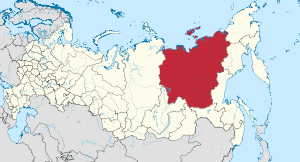
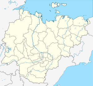
 Sakha Republic in Russia | |||||||||||
 | |||||||||||
| Runways | |||||||||||
| |||||||||||
Zyryanka Airport (IATA: ZKP, ICAO: UESU) is the main airport serving the locality of Zyryanka, Verkhnekolymsky District, in the Sakha Republic of Russia. When it cannot be used, the Zyryanka West Airport complements it.
Google Earth images of June, 2017, show the west runway covered by floodwaters, possibly destroyed.
Airlines and destinations
[edit]| Airlines | Destinations |
|---|---|
| Polar Airlines | Yakutsk |
References
[edit]- ^ Airport information for UESU at Great Circle Mapper.
- ^ Airport information for Zyryanka Airport at Transport Search website.
- ^ Zyryanka Airport (ZKP, UESU). OurAirports. Retrieved 22 October 2021.

