Sakkyryr Airport
Appearance
Sakkyryr Airport Аэропорт Саккырыр | |||||||||||
|---|---|---|---|---|---|---|---|---|---|---|---|
 | |||||||||||
| Summary | |||||||||||
| Airport type | Public | ||||||||||
| Serves | Batagay-Alyta, Eveno-Bytantaysky National District, Sakha Republic, Russia | ||||||||||
| Elevation AMSL | 25 m / 82 ft | ||||||||||
| Coordinates | 67°47′31″N 130°23′27″E / 67.79194°N 130.39083°E | ||||||||||
| Website | http://www.aerosever.ru/www/airports/air14/ | ||||||||||
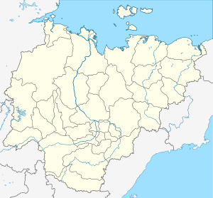
| Maps | |||||||||||
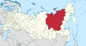
 Sakha Republic in Russia | |||||||||||
 | |||||||||||
| Runways | |||||||||||
| |||||||||||
Sakkyryr Airport (Russian: Аэропорт Саккырыр) (IATA: SUK, ICAO: UEBS) is an airport serving the urban locality of Batagay-Alyta, Eveno-Bytantaysky National District, in the Sakha Republic of Russia, along the Yana River. It has one unpaved runway 2000×60 m. It is operated by the Federal State Enterprise “Aeroporty Severa” (which is a branch of the enterprise). The airport terminal can accommodate 30 people.[4]
Airlines and destinations
[edit]| Airlines | Destinations |
|---|---|
| Polar Airlines | Yakutsk |
References
[edit]- ^ "Sakkyryr Airport on AeroSever (in Russian)". Aerosever.ru. Archived from the original on 2014-05-17. Retrieved 2014-05-30.
- ^ Airport information for SUK at Great Circle Mapper.
- ^ Airport information for Sakkyryr Airport at Transport Search website.
- ^ "Филиал Саккырыр | Аэропорты Севера" (in Russian). Retrieved 2024-09-15.

