Yahk Provincial Park
| Yahk Provincial Park | |
|---|---|
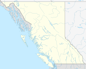
Location of Yahk Provincial Park in British Columbia | |
| Location | British Columbia, Canada |
| Nearest city | Yahk |
| Coordinates | 49°4′49″N 116°5′44″W / 49.08028°N 116.09556°W / 49.08028; -116.09556 |
| Area | 9 hectares |
| Established | 1956 |
| Governing body | BC Parks |
 | |
Yahk Provincial Park is a provincial park located just south of Yahk, British Columbia, 70 kilometres south of Cranbrook, and 14.5 kilometres north of the Canada–United States border at Kingsgate in British Columbia, Canada.
History
[edit]The park was established 1956.[2] The area was once a major supplier of railroad ties for the Canadian Pacific Railway.
The park serves as both an introduction to British Columbia for tourists entering from the United States and a scenic day use area and camping location for travelers following the southern trans-provincial highway.
Conservation
[edit]The park aims to protect a short scenic section of the Moyie River, though the primary purpose for the park is to provide camping and picnicking opportunities for the travelling public.
Recreation
[edit]The park provides vehicle accessible camping, picnicking, and fishing opportunities for the travelling public. There is also the opportunity of hiking an abandoned railway grade which borders the park.
References
[edit]- ^ "Yahk Park". Protected Planet. Retrieved 2020-09-16.
- ^ "Yahk Park". British Columbia Parks.

