Tri-Mountain State Park
Appearance
| Tri-Mountain State Park | |
|---|---|
 Tri-Mountain | |
| Location | Wallingford & Durham, Connecticut, United States |
| Coordinates | 41°26′33″N 72°44′27″W / 41.44250°N 72.74083°W[1] |
| Area | 157 acres (64 ha)[2] |
| Elevation | 748 ft (228 m)[1] |
| Established | 1925 |
| Administered by | Connecticut Department of Energy and Environmental Protection |
| Designation | Connecticut state park |
| Website | Official website |
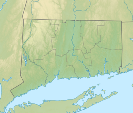
Tri-Mountain State Park is an isolated public recreation area located in the towns of Wallingford and Durham, Connecticut. The state park encompasses portions of Fowler Mountain and Trimountain. With no road access, the park can only be reached via the Mattabesett Trail.[2] The park originated in 1925 after Wallingford resident John B. Kendrick donated a six-acre parcel on the summit of Trimountain's southern peak that he had purchased for protective purposes in 1906.[3]
References
[edit]- ^ a b "Fowler Mountain". Geographic Names Information System. United States Geological Survey, United States Department of the Interior.
- ^ a b "Other State Parks and Forests". Connecticut Department of Energy and Environmental Protection. Retrieved August 2, 2024.
- ^ Report of the State Park and Forest Commission to the Governor 1926 (Report). Hartford, Conn.: State of Connecticut. December 30, 1926. p. 21. Retrieved October 16, 2017.
External links
[edit]- Tri-Mountain State Park Connecticut Department of Energy and Environmental Protection


