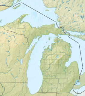
Southwest Michigan Underwater Preserve
Appearance
| Southwest Michigan Underwater Preserve | |
|---|---|
| Location | Lake Michigan, Allegan County, Berrien County, Van Buren County, Michigan, USA |
| Nearest city | Benton Harbor, Michigan |
| Coordinates | 42°08′31″N 86°31′44″W / 42.142°N 86.529°W |
| Governing body | Michigan Department of Natural Resources |
The Southwest Michigan Underwater Preserve is a preservation area in the U.S. state of Michigan. Located in Lake Michigan, it protects a five-mile-wide strip of water offshore from Michigan's Allegan, Berrien, and Van Buren Counties. These waters include the waters offshore the port towns of Benton Harbor, Holland, St. Joseph, and South Haven, all in Michigan. Many wrecks litter these waters.[1]
References
[edit]- ^ "Southwest Michigan Preserve". Michigan Department of Environmental Quality. Retrieved 2009-05-08.

