Snare River Airport
Appearance
Snare River Airport | |||||||||||
|---|---|---|---|---|---|---|---|---|---|---|---|
| Summary | |||||||||||
| Airport type | Private | ||||||||||
| Operator | Northwest Territories Power Corp. | ||||||||||
| Location | Snare River, Northwest Territories | ||||||||||
| Time zone | MST (UTC−07:00) | ||||||||||
| • Summer (DST) | MDT (UTC−06:00) | ||||||||||
| Elevation AMSL | 700 ft / 213 m | ||||||||||
| Coordinates | 63°26′N 116°11′W / 63.433°N 116.183°W | ||||||||||
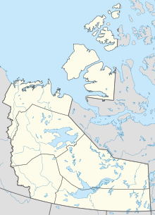
| Map | |||||||||||
 | |||||||||||
| Runways | |||||||||||
| |||||||||||
Source: Canada Flight Supplement[1] | |||||||||||
Snare River Airport (TC LID: CEV9) is a private aerodrome in the Northwest Territories, Canada near the Snare River. Caribou may be found on the runway. Prior permission is required to land except in the case of an emergency.
References
[edit]

