Ravenna Airport
Appearance
Ravenna Airport Aeroporto di Ravenna | |||||||||||
|---|---|---|---|---|---|---|---|---|---|---|---|
| Summary | |||||||||||
| Airport type | Public | ||||||||||
| Operator | ENAC | ||||||||||
| Serves | Ravenna, Emilia-Romagna, Italy | ||||||||||
| Elevation AMSL | 222 m / 728 ft | ||||||||||
| Coordinates | 44°21′52″N 012°13′32″E / 44.36444°N 12.22556°E | ||||||||||
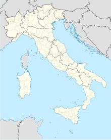
| Map | |||||||||||
 | |||||||||||
| Runways | |||||||||||
| |||||||||||
Ravenna Airport (Italian: Aeroporto di Ravenna) (IATA: RAN, ICAO: LIDR) (also known as Ravenna - La Spreta Airport) is an airport serving the locality of Ravenna, in the Emilia-Romagna province of Italy.[3]
See also
[edit]References
[edit]- ^ Airport information for LIDR at Great Circle Mapper.
- ^ Airport information for Ravenna Airport at Transport Search website.
- ^ "Airport Near Ravenna, Emilia-Romagna, Italy, Nearest Airports". airport.globefeed.com. Retrieved 2022-03-14.

