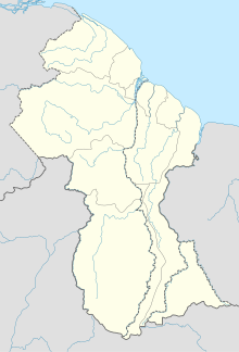
Kamarang Airport
Appearance
Kamarang Airport | |||||||||||
|---|---|---|---|---|---|---|---|---|---|---|---|
 | |||||||||||
| Summary | |||||||||||
| Serves | Kamarang | ||||||||||
| Elevation AMSL | 1,601 ft / 488 m | ||||||||||
| Coordinates | 5°51′55″N 60°36′50″W / 5.86528°N 60.61389°W | ||||||||||
| Map | |||||||||||
 | |||||||||||
| Runways | |||||||||||
| |||||||||||
Kamarang Airport (IATA: KAR, ICAO: SYKM) is an airport serving the town of Kamarang, in the Cuyuni-Mazaruni Region of Guyana.
The Kamarang non-directional beacon (Ident: KAM) is 2 kilometres (1.2 mi) north of the field.
The paved runway (asphalt) is 1,220 metres long (4000') by 18 metres wide (60').
See also
[edit]References
[edit]- ^ Google Maps - Kamarang
- ^ Airport information for KAR at Great Circle Mapper.
External links
[edit]Wikimedia Commons has media related to Kamarang Airport.

