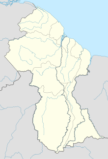
Ebini Airport
Appearance
Ebini Airport | |||||||||||
|---|---|---|---|---|---|---|---|---|---|---|---|
| Summary | |||||||||||
| Serves | Ebini | ||||||||||
| Elevation AMSL | 147 ft / 45 m | ||||||||||
| Coordinates | 5°34′05″N 57°46′35″W / 5.56806°N 57.77639°W | ||||||||||
| Map | |||||||||||
 | |||||||||||
| Runways | |||||||||||
| |||||||||||
Ebini Airport (ICAO: SYEB) is an airport serving the community of Ebini in the Upper Demerara-Berbice Region of Guyana. The 1-kilometer-long runway has a gravel surface.
See also
[edit]References
[edit]External links
[edit]- Google Maps - Ebini
- Ebini Airport
- OurAirports - Ebini
- Airport information for SYEB at Great Circle Mapper.

