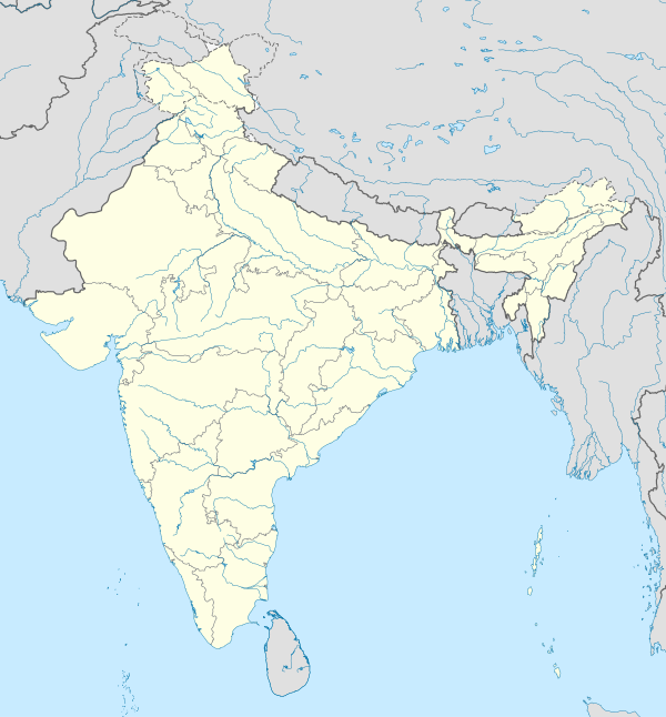
Hyderabad Metropolitan Region
Hyderabad Metropolitan Area | |
|---|---|
 'Hyderabad_skyline' | |
| State | Telangana |
| Core city | Hyderabad |
| Districts | |
| Area | |
| • Urban | 1,225.59 km2 (473.20 sq mi) |
| • Metro | 7,257 km2 (2,802 sq mi) |
| Population (2011) | |
• Estimate (2024)[2] | |
| • Rank | 6 |
| • Urban | 7,677,018 |
| • Urban density | 6,300/km2 (16,000/sq mi) |
| • Metro | 9,600,000 |
| • Metro density | 1,300/km2 (3,400/sq mi) |
| Demonym | Hyderabadi |
| Time zone | UTC+5:30 (Indian Standard Time) |
| Nominal GDP (2022-23) | |
| GDP(PPP)(2022-23) | |
| GDP Contribution to Telangana State | 45.94 % |
| Website | www |
Hyderabad Metropolitan Region is the metropolitan area covered by the city of Hyderabad in the Indian state of Telangana. The entire region is spread over the districts of Hyderabad District, Bhuvanagiri, Medchal-Malkajgiri, Ranga Reddy, Sangareddy, Medak, and Siddipet. Under the jurisdiction of Hyderabad Metropolitan Development Authority, it covers an area of 7,257 km2 (2,802 sq mi) and has a population of 10.7 million people.[7]

Jurisdiction
[edit]The areas under Hyderabad Metropolitan Development Authority include districts of Hyderabad district, Medchal district, part of Rangareddy district, Bhuvanagiri district, Sangareddy district, Medak district and Siddipet district.[3] The metropolitan region covers seven districts, 70 mandals, and 1032 villages, including Greater Hyderabad Municipal Corporation which consists of 175 villages and 12 municipalities / nagar panchayats consisting of 31 villages.
| S.No | District | Mandals / Tehsil | Total Mandals |
|---|---|---|---|
| 1 | Hyderabad district | Complete district | 16 |
| 2 | Yadadri Bhuvanagiri district | Bhuvanagiri Town, Bibinagar, Bommala Ramaram, Choutuppal, Pochampally | 5 |
| 3 | Medchal - Malkajgiri District | Complete district - Ghatkesar, Shameerpet, Medchal, Uppal Kalan, Keesara, Quthubullapur, Medipally, Bachupally, Dundigal, Kapra, Balanagar, Kukatpally, Malkajgiri, Alwal | 14 |
| 4 | Ranga Reddy district | Chevella, Hayathnagar, Ibrahimpatnam, Kandukur, Maheshwaram, Manchal, Moinabad, Rajendranagar, Saroornagar, Shahbad, Shamshabad, Shankerpally, Yacharam, Abdullapurmet, Balapur, Farooqnagar, Gandipet, Kothur, Nandigama, Serilingampally | 20 |
| 5 | Sangareddy district | Patancheru, Ramachandrapuram, Sangareddy, Ameenpur, Gummadidala, Jinnaram, Kandi, Hathnoor | 8 |
| 6 | Medak district | Manoharabad, Narsapur, Shivampet, Tupran | 4 |
| 7 | Siddipet district | Markook, Mulugu and Wargal | 3 |
Municipal Corporations
[edit]Following Municipal corporation's are in Hyderabad Metropolitan Region.
- Greater Hyderabad Municipal Corporation
- Boduppal Corporation
- Peerzadiguda Corporation
- Nizampet Corporation
- Jawaharnagar Corporation
- Badangpet Corporation
- Meerpet-Jillelaguda Corporation
- Bandlaguda Corporation
Municipal Councils
[edit]Following Municipal Councils are in Hyderabad Metropolitan Region.
- Sangareddy Town
- Bollaram Municipality
- Tellapur Municipality
- Ameenpur Municipality
- Bhuvanagiri Town Municipality
- Choutuppal Town
- Pochampally
- Medchal Town
- Dammaiguda Municipality
- Nagaram Municipality
- Pocharam Municipality
- Ghatkesar Town
- Gundlapochampally Municipality
- Thumkunta Municipality
- Dundigal Municipality
- Kompally Municipality
- Pedda Amberpet Municipality
- Ibrahimpatnam Town
- Jalpally Municipality
- Shadnagar Town
- Shamshabad Municipality
- Turkayamjal Municipality
- Adibatla Municipality
- Shankarpally Municipality
- Thukkuguda Municipality
- Manikonda Municipality
- Narsingi Municipality
- Narsapur Town
- Toopran Town
References
[edit]- ^ "About HMDA". Hyderabad Metropolitan Development Authority. Archived from the original on 3 December 2019. Retrieved 7 October 2018.
- ^ {Delhi, Mumbai or Kolkata?: Here are top 10 most populated Indian cities in 2024}{url=https://indianexpress.com/article/trending/top-10-listing/delhi-mumbai-or-kolkata-here-are-top-10-densely-populated-indian-cities-in-2024-9446056/}
- ^ {Official census of India }{url=https://censusindia.gov.in/nada/index.php/catalog/42876/download/46544/CLASS_I.xlsx}
- ^ https://dyvak8rtbn5om.cloudfront.net/wp-content/uploads/2020/07/2.1.EDP_2050_RFP_-revised-04-09-2023.pdf
- ^ https://www.telangana.gov.in/wp-content/uploads/2024/07/Telangana-Socio-Economic-Outlook-2024.pdf
- ^ https://www.imf.org/external/datamapper/PPPEX@WEO/OEMDC/ADVEC/WEOWORLD/IND
- ^ "Hyderabad, India Metro Area Population 1950-2022".


