Goulmima
Appearance
Goulmima, Tizi n Imnayen
ݣلميمة | |
|---|---|
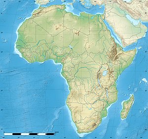
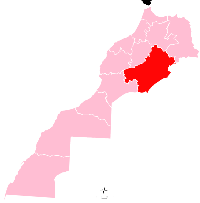
location of Goulmima in Morocco | |
| Coordinates: 31°41′40″N 4°57′33″W / 31.69444°N 4.95917°W | |
| Country | |
| Region | Drâa-Tafilalet |
| Province | Errachidia |
| Elevation | 1,018 m (3,340 ft) |
| Population (2009)[1] | |
| • Total | 17 952 |
Goulmima (Arabic: ݣلميمة ، تيزي ن إمناين) is a town in Morocco[2] situated in the province of Errachidia, in the region of Drâa-Tafilalet. An agricultural oasis, it is fed by the Wadi Gheris from the central High Atlas mountains. Like other settlements in Tafilalet, it was built as a fortified village or ksar. One of the most important ones, (Ksar Goulmima), is in the process of restoration.[3] Not just a historical location, several hundred people still live in the ksar.
Notable people
[edit]- Abdelhamid Sabiri, Professional footballer
- Amer Oumehfoud,poet
- Ouasta,Poet
- Moha souag,Novelist
References
[edit]- ^ "gazetteer.de". gazetteer.de. Retrieved 2014-11-16.
- ^ Clammer, P. (2010). Morocco. Lonely Planet. p. 363. ISBN 9781742203607. Retrieved 2014-11-16.
- ^ "Le portail Internet de la ville de Goulmima et ses regions | Phototèque". goulmima.net. Retrieved 2014-11-16.
External links
[edit]- (in French) Ksour du Gheris
- (in French) goulmima.com
- (in French) Arraw n'Ghriss


