Clendinning Range
Appearance

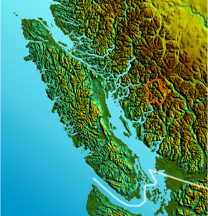
The Clendinning Range is a subrange of the Pacific Ranges of the Coast Mountains of British Columbia. About 1,500 km2 (580 sq mi) in area and lies to the northwest of the better-known Tantalus Range near Squamish. Heavily glaciated and very rugged, with severe weather year-round, it is between the valleys of the Elaho River (east) and the Toba River (west).
References
[edit]- "Clendinning Range". BC Geographical Names.
- Clendinning Range in the Canadian Mountain Encyclopedia
