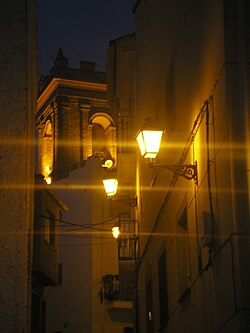
Calles
Appearance
This article needs additional citations for verification. (April 2024) |
Calles | |
|---|---|
 | |
| Coordinates: 39°43′28″N 0°58′22″W / 39.72444°N 0.97278°W | |
| Country | |
| Autonomous community | |
| Province | Valencia |
| Comarca | Los Serranos |
| Judicial district | Llíria |
| Government | |
| • Alcalde | Angel Valero Solaz |
| Area | |
• Total | 64.5 km2 (24.9 sq mi) |
| Elevation | 351 m (1,152 ft) |
| Population (2018)[1] | |
• Total | 342 |
| • Density | 5.3/km2 (14/sq mi) |
| Demonym | Callejano/a |
| Time zone | UTC+1 (CET) |
| • Summer (DST) | UTC+2 (CEST) |
| Postal code | 46175 |
| Official language(s) | Spanish |
| Website | Official website |
Calles is a municipality in the comarca of Los Serranos in the Valencian Community, Spain.
See also
[edit]References
[edit]- ^ Municipal Register of Spain 2018. National Statistics Institute.


