Acheron, Victoria
Appearance
| Acheron Victoria | |
|---|---|
| Coordinates | 37°15′S 145°42′E / 37.250°S 145.700°E |
| Population | 146 (2021 census)[1] |
| Postcode(s) | 3714 |
| Location |
|
| LGA(s) | Shire of Murrindindi |
| State electorate(s) | Eildon |
| Federal division(s) | Indi |
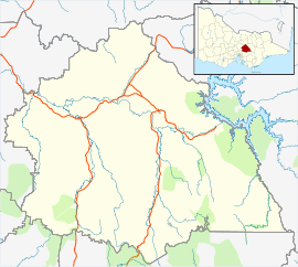
Acheron is a locality in Victoria, Australia. At the 2021 census, Acheron had a population of 146.[2]
Overview
[edit]The locality is located along the Maroondah Highway, near the junction of Acheron River and Goulburn River. It was initially known as Acheron Lower, with Acheron Upper being what is now known as Taggerty. Both locality developed following the discovery of gold in Acheron River in 1870. Acheron Post Office opened on 15 April 1876 and was renamed Taggerty in 1893. Acheron Lower Post Office opened in 1884, was renamed Acheron in 1894 and closed in 1974.[3]
The locality was affected by the Black Friday bushfires of 1939. Seven people died near the locality while fleeing the fires.[4]
References
[edit]- ^ Australian Bureau of Statistics (28 June 2022). "Acheron (Suburbs and Localities)". 2021 Census QuickStats. Retrieved 17 November 2024.
- ^ Australian Bureau of Statistics (28 June 2022). "Acheron (Suburb and Locality)". 2021 Census QuickStats. Retrieved 28 June 2022.
- ^ "Post Office List". Phoenix Auctions History. Retrieved 10 April 2021.
- ^ "VICTORIA RAVAGED BY FIRES". The Australasian. Vol. CXLVI, no. 4, 698. Victoria, Australia. 21 January 1939. p. 4. Retrieved 18 August 2024 – via National Library of Australia.


