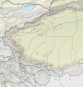
Yazghil Dome South
Yazghil Dome South (also known as Disteghil Sar South, Wala Hispar Peak 57),[2] at a height of 7,365 m (24,163 ft) is part of the Karakoram range. It would be one of the highest peaks on Earth if it had more topographic prominence but is within 305 m (1,001 ft) prominence and only about 5 km (3.1 mi) away from the major peak of one of the mountains in the top twenty.[a] This is Disteghil Sar at 7,885 m (25,869 ft) at a distance of 4.39 km (2.73 mi) WNW on the same ridge line.[4][5] South at 11.67 km (7.25 mi) is Kunyang Chhish at 7,852 m (25,761 ft).[4] The two Yazghil Domes, North and South ice-field's feed to the south and east the Yazghil glacier and to their north the Mulungutti glacier.[6] The dome peaks should not be confused with the lower mountain of Yazghil Sar 15 km (9.3 mi) to the northeast.[7]
History
[edit]The area between the Yazghil and Mulungutti glaciers was first surveyed by Europeans in the 1911/12 Dutch Visser-Hooft expedition. This identified Distaghil Sar as the highest Himalayan summit west of K2.[8] A Polish expedition climbed Yazghil Dome South in 1981.[9] Attempts to climb it in 1989 were abandoned.[10]
Notes
[edit]- ^ The names Disteghil Sar South and Wala Hispar Peak 57 are historical. There are two Yazghil Domes North and South, without the North Dome having a name associated with Disteghil Sar. If the Yazgihil Dome South is named as part of Disteghil Sar which has west, central and east peaks close together, confusion could arise. Ranking of the highest peaks may be based on 500 meters of clean prominence.[3]
References
[edit]- ^ a b "Yazghil Dome South, Pakistan". Peakbagger.com. Retrieved 2024-10-14.
- ^ Bergamaschi 1984, p. 301.
- ^ "World 7200-meter Peaks". Retrieved 2024-10-14.
- ^ a b "Radius Search from Yazghil Dome South". Retrieved 2024-10-14.
- ^ "The Yazghil Domes". Retrieved 2024-10-14.
- ^ "OpenStreetMap". Retrieved 2024-10-14.
- ^ Foster et al. 1987, p. 2.
- ^ Foster et al. 1987, p. 8.
- ^ "Asia, Pakistan, Disteghil Sar East and Yazghil Dome South". Retrieved 2024-10-14.
- ^ "Asia, Pakistan, Pumari Chhish South and Yazghil Dome South Attempts". Retrieved 2024-10-14.
Sources
[edit]- Foster, Peter; McGIashan, Ernie; Foster, Claire; Lindsay, Roy; Brindle, Jack; O'Reilly, John (1987). The Anglo-Scottish Karakoram Expedition 1987: Final report Shimshal Valley – Hunza – Kashmir – Pakistan (PDF) (Report). Retrieved 2024-10-14.
- Bergamaschi, Arturo (1984). "Disteghil Sar South, Disteghil Sar East and Yazghil Dome North.". In Adams Carter, H. (ed.). The American Alpine Journal. Vol. 26. pp. 1–376. ISBN 0930410238.


