Wooler Water
Appearance
| Wooler Water | |
|---|---|
 Wooler Water near Wooler | |
| Location | |
| Country | United Kingdom |
| County | Northumberland |
| Physical characteristics | |
| Mouth | |
• location | River Till |
• coordinates | 55°33′56″N 1°59′51″W / 55.5656°N 1.9975°W |
| Length | 20 km (12 mi) |
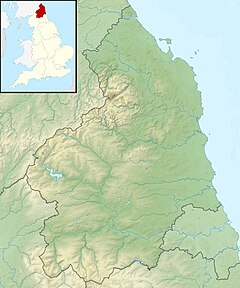
Wooler Water is a stream that flows through Wooler in Northumberland, England. It is a tributary of the River Till and is 12 miles (20 km) in length. Its main tributary is the Harthope Burn.[1]
References
[edit]- ^ "Wooler Water from Harthope Burn to Till". Catchment Data Explorer. Environment Agency. Retrieved 14 April 2016.

