Wikipedia:Featured pictures/Diagrams, drawings, and maps/Maps
Appearance
|
Directory of featured pictures Animals · Artwork · Culture, entertainment, and lifestyle · Currency · Diagrams, drawings, and maps · Engineering and technology · Food and drink · Fungi · History · Natural phenomena · People · Photographic techniques, terms, and equipment · Places · Plants · Sciences · Space · Vehicles · Other lifeforms · Other | |
|
Diagrams, drawings, and maps: Diagrams · Drawings · Maps; see also: Earth seen from space |
-
World map from Theatrum Orbis Terrarum, by Abraham Ortelius
-
1935 map of Shanghai at Shanghai International Settlement, by the Army Map Service
-
Map of the Exposition Universelle of 1900, by GTC
-
Index to the Great Trigonometrical Survey, by the Government of India
-
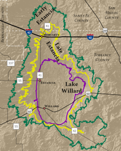
Three stages of Lake Estancia, by Guerillero
-
3D rendering of Saint Elias Mountains, by Tom Patterson
-
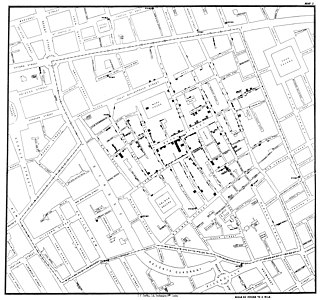
Cases of the 1854 Broad Street cholera outbreak, by John Snow and the University of California, Los Angeles
-
3D rendering of Mount Everest, by Tom Patterson
-
Survey of Palestine map, by the Survey Department of Palestine (stitched by DutchTreat)
-
United States postal route map of 1804 at United States Post Office Department, by Abraham Bradley Jr. and Aaron Arrowsmith
-
North Cascades National Park, at and by Heinrich C. Berann
-
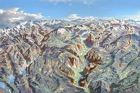
Yosemite National Park, at and by Heinrich C. Berann
-
Yellowstone National Park, at and by Heinrich C. Berann
-
Denali National Park and Preserve, at and by Heinrich C. Berann
-
Geopolitical world map, by the Central Intelligence Agency
-
Turgot map of Paris, overview map, by Louis Bretez and Claude Lucas
-
Turgot map of Paris, full map, by Louis Bretez and Claude Lucas
-
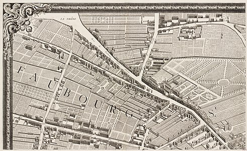
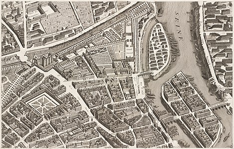
Turgot map of Paris, sheet 1, by Louis Bretez and Claude Lucas
-
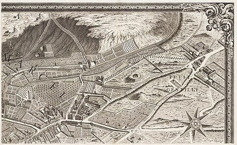
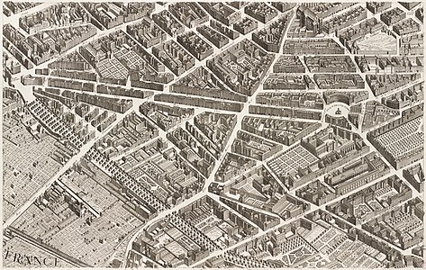
Turgot map of Paris, sheet 2, by Louis Bretez and Claude Lucas
-
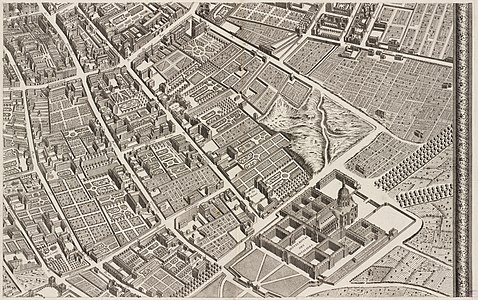
Turgot map of Paris, sheet 3, by Louis Bretez and Claude Lucas
-
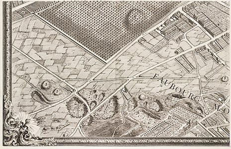
Turgot map of Paris, sheet 4, by Louis Bretez and Claude Lucas
-
Turgot map of Paris, sheet 5, by Louis Bretez and Claude Lucas
-
Turgot map of Paris, sheet 6, by Louis Bretez and Claude Lucas
-
Turgot map of Paris, sheet 7, by Louis Bretez and Claude Lucas
-
Turgot map of Paris, sheet 8, by Louis Bretez and Claude Lucas
-
Turgot map of Paris, sheet 9, by Louis Bretez and Claude Lucas
-
Turgot map of Paris, sheet 10, by Louis Bretez and Claude Lucas
-
Turgot map of Paris, sheet 11, by Louis Bretez and Claude Lucas
-
Turgot map of Paris, sheet 12, by Louis Bretez and Claude Lucas
-
Turgot map of Paris, sheet 13, by Louis Bretez and Claude Lucas
-
Turgot map of Paris, sheet 14, by Louis Bretez and Claude Lucas
-
Turgot map of Paris, sheet 15, by Louis Bretez and Claude Lucas
-
Turgot map of Paris, sheet 16, by Louis Bretez and Claude Lucas
-
Turgot map of Paris, sheet 17, by Louis Bretez and Claude Lucas
-
Turgot map of Paris, sheets 18-19, by Louis Bretez and Claude Lucas
-
Turgot map of Paris, sheet 20, by Louis Bretez and Claude Lucas
-
Map of the County Palatine of Lancaster, by Jodocus Hondius and John Speed (restored by Adam Cuerden)
-
Map of Isla Margarita, by The Photographer
-
Map of Iran and Turan, by Adolf Stieler
-
Homann Map of Scandinavia, Norway, Sweden, Denmark, Finland and the Baltics at History of Scandinavia, by Johann Homann
-
Map of the Kingdom of Armenia, by Cplakidas
-
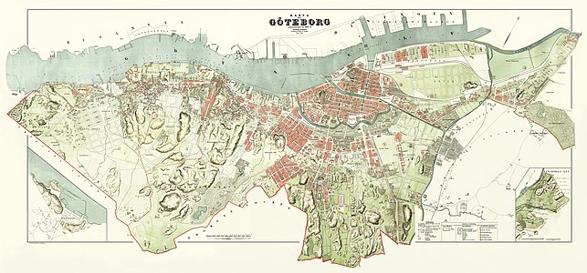
1888 map of Gothenburg, by Ludvig Simon
-
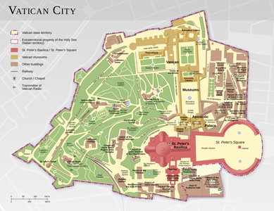
Map of Vatican City at Geography of Vatican City, by Thoroe
-
Map of the Battle of the Somme, by Grandiose
-
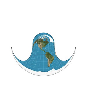
Hammer retroazimuthal projection, front, by Strebe
-
Hammer retroazimuthal projection, back, by Strebe
-
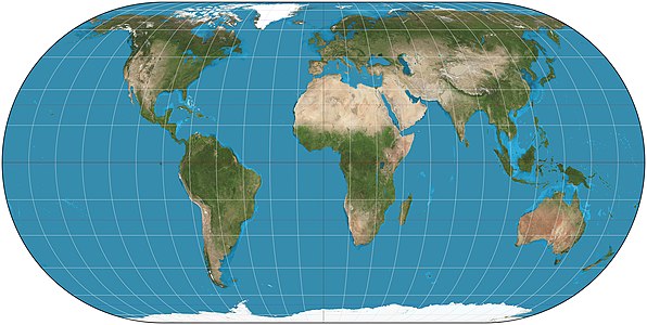
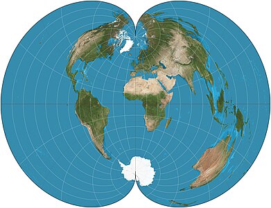
American Polyconic projection, by Strebe
-
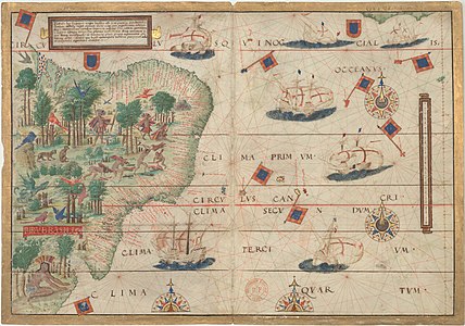
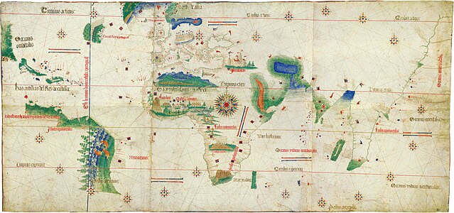
Cantino planisphere, unknown author
-
Map of Lake Bonneville, by Fallschirmjäger
-
1924 map of the United States Naval Academy, by C.E. Miller (edited by A Texas Historian)
-
Map of the Battle of Jutland, by Grandiose
-
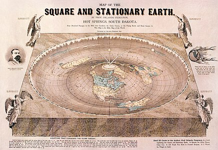
Flat Earth map, by Orlando Ferguson (edited by Fallschirmjäger)
-
Chernobyl Exclusion Zone, by the Central Intelligence Agency (vectorized by Eric Gaba; edited by Matt Truch and Makeemlighter)
-
Painted turtle native range, by Fallschirmjäger
-
Castello Plan, by John Wolcott Adams and Isaac Newton Phelps Stokes
-
Portolan chart, by Jorge de Aguiar
-
Map of Madrid Metro, by Javitomad
-
Mitchell Map, by John Mitchell
-
1639 nautical chart of the Delaware Bay, by Johannes Vingboons (edited by Durova, NW, and Adam Cuerden)
-
Map of the New York City Subway, by countZ
-
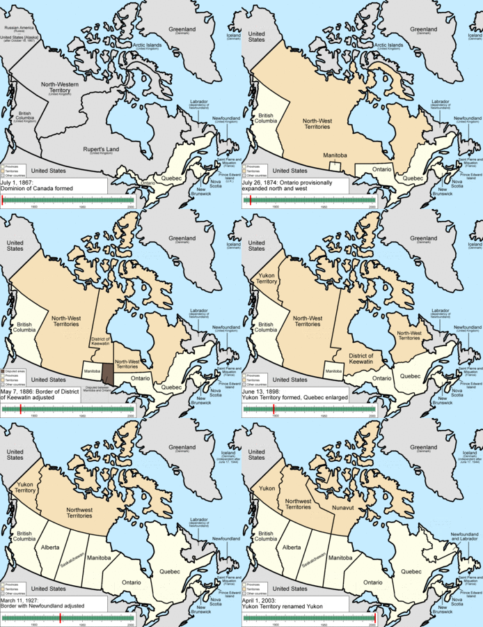
Evolution of the provinces and territories of Canada, by Golbez
-
Map of the Ancient Egypt, by Jeff Dahl
-
Map of the Russo-Georgian War, by ArdadN
-
Map of Germany at List of twin towns and sister cities in Germany, by NordNordWest
-
Portolan chart of the Mediterranean, unknown author (edited by Durova)
-
Map of the Dublin Rail Network, by Stabilo boss
-
1871 map of Yellowstone National Park, by F.V. Hayden (edited by Durova)
-
Map of the Antelope Island State Park, by Justinmorris
-
Map of Arches National Park, by Justinmorris
-
1628 map of the Acapulco Bay, author unknown
-
Map of the Olmec heartland, by Madman2001
-
Map of Kamianets-Podilskyi, by Nicolas de Fer
-
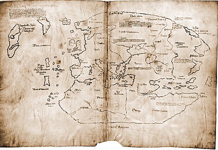
Vinland map, author unknown
-
Antique map of the Iberian Peninsula, by Robert Wilkinson
-
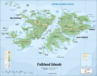
Topographic map of the Falkland Islands, by Sting
-
Evolution of the states of Mexico at Administrative divisions of Mexico, by Golbez
-
Major highways in Indian road network, by PlaneMad
-
Giza pyramid complex at Giza Necropolis, by MesserWoland
-
Indigenous language families of North America at Indigenous languages of the Americas, by ishwar (edited by Mahahahaneapneap and Malus Catulus)
-
Map of Area 51, by Finlay McWalter
-
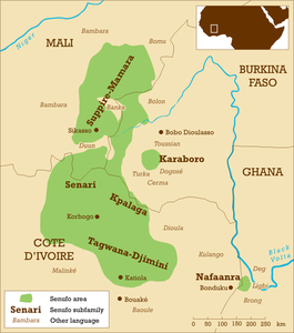
Map of Senufo languages, by Mark Dingemanse
-
Varying age of bedrock underlying North America at Geography of North America, by United States Geological Survey
-
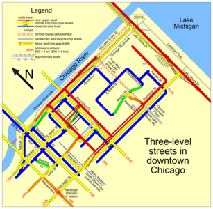
Downtown Chicago plan at Multilevel streets in Chicago, by SPUI


