Whitefarland
Appearance
Whitefarland
| |
|---|---|
 The view from Whitefarland point to Kintyre | |
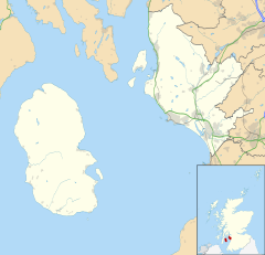
Location within North Ayrshire | |
| OS grid reference | NR864421 |
| Civil parish |
|
| Council area | |
| Lieutenancy area | |
| Country | Scotland |
| Sovereign state | United Kingdom |
| Post town | ISLE OF ARRAN |
| Postcode district | KA27 |
| Dialling code | 01770 |
| Police | Scotland |
| Fire | Scottish |
| Ambulance | Scottish |
| UK Parliament | |
| Scottish Parliament | |
Whitefarland (Scottish Gaelic: An Aoirinn) is a clachan on the Isle of Arran in the Firth of Clyde, Scotland. It is located approximately 1 mile (2 kilometres) to the south of Pirnmill. Its name is derived from Old Norse, not Gaelic. It may refer to Olaf the White who was King of Ireland and the Western Isles. The alternative name for Whitefarland, cited in 1351 in papers in the Scottish Records is 'Irachonan' - which means King of Ireland in old Norse.
External links
[edit]Wikimedia Commons has media related to Whitefarland.


