White Hill (Forest of Bowland)
Appearance
(Redirected from White Hill (England))
This article needs additional citations for verification. (February 2024) |
| White Hill | |
|---|---|
 The valley of Croasdale, with the slopes of White Hill on the left | |
| Highest point | |
| Elevation | 544 m (1,785 ft)[1] |
| Prominence | 159 m (522 ft) |
| Parent peak | Ward's Stone |
| Listing | Marilyn |
| Coordinates | 54°01′24″N 2°30′02″W / 54.02325°N 2.50062°W |
| Geography | |
| Location | Forest of Bowland, England |
| OS grid | SD673587 |
| Topo map | OS Landranger 103 |
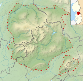
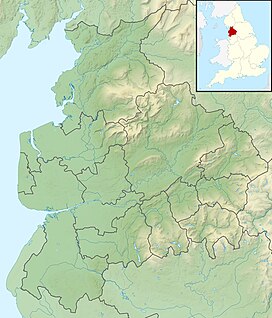
White Hill is a hill in the Forest of Bowland in north-western England.[2] It lies between Slaidburn and High Bentham, on the boundary between the City of Lancaster and Ribble Valley districts. The summit houses a tower and a trig point. In medieval times, the hill marked one of the northernmost limits of the Lordship of Bowland.
The hill has an elevation of 544 m (1,785 ft) and a prominence of 159 m (522 ft) and is classed as a Marilyn.[1]
References
[edit]- ^ a b "White Hill". Hill Bagging. Database of British and Irish Hills. Retrieved 3 February 2024.
- ^ Marsh, Terry (2012). Walking in the Forest of Bowland and Pendle: 40 walks in Lancashire's Area of Outstanding Natural Beauty. Cicerone Press Limited. p. 11. ISBN 978-1-84965-533-0.
For walkers who like to 'collect' summits, there are six of the so-called 'Marilyns' within the area of the book, only two of which (White Hill and Easington Fell) are not included in a walk.


