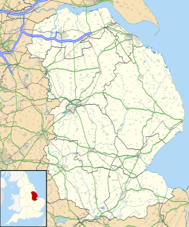
Wellsyke Wood
Appearance
| Wellsyke Wood | |
|---|---|
| Geography | |
| Location | Lincolnshire, England |
| Coordinates | 53°9′33″N 0°9′47″W / 53.15917°N 0.16306°W |
| Elevation | 22 |
Wellsyke Wood is a small woodland on Roughton Moor to the east of the village of Woodhall Spa, Lincolnshire.
At the eastern end of the wood there is a small spring which feeds one of the two main sources of The Sewer (also known as Woodhall Sewer), a small stream that is a tributary of the River Witham at Kirkstead.

