Villa Jesús María
Appearance
Villa Jesús María | |
|---|---|
| Coordinates: 28°16′53″N 114°00′04″W / 28.28139°N 114.00111°W | |
| Country | |
| State | Baja California |
| Municipality | San Quintín |
| Elevation | 95 ft (29 m) |
| Population (2010) | |
• City | 368 |
| • Urban | 0 |
| Time zone | UTC-8 (Northwest US Pacific) |
| • Summer (DST) | UTC-7 (Northwest) |
 | |
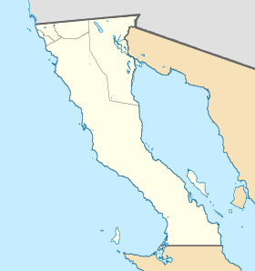
Villa Jesús María, Baja California is a small town in Baja California, Mexico, on Highway 1 between El Rosarito to the north and Guerrero Negro to the south. It is located toward the southern end of the Sebastián Vizcaíno Bay, due east of Isla de Cedros. It is one of the boroughs (Spanish: delegaciones) of the San Quintín Municipality.[1]
The main economic activity is fishing. In 2011, 3600 chocolate clams (Megapitaria squalida) were being extracted per month in Faro Viejo, a location in the Villa Jesús María borough.[2]
In June 2020 the State Attorney of Baja California, Juan Guillermo Ruiz Hernández, visited the Villa Jesús María to discuss issues of crime and insecurity with residents of the area.[3]
References
[edit]- ^ Boroughs of Ensenada Archived 2006-10-28 at the Wayback Machine
- ^ "Radican 900 familias en Villa Jesús María - El Vigía". www.elvigia.net (in Spanish). 2011-09-16. Retrieved 2020-07-16.
- ^ Azcarate, Alfredo (2020-06-24). "Gira de trabajo del Fiscal general Guillermo Ruiz, la zona sur de Ensenada, en los límiotes con Baja Sur". The Baja Post (in Spanish). Archived from the original on 2020-07-16. Retrieved 2020-07-16.


