User talk:Sumansaha123/sandbox
Appearance
Melaghar | |
|---|---|
Town | |
| Coordinates: 23°30′N 91°20′E / 23.50°N 91.33°E | |
| Country | |
| State | Tripura |
| District | Sipahijala district |
| Elevation | 15 m (49 ft) |
| Population (2011) | |
| • Total | 18,970 |
| Languages | |
| • Official | Bengali, Kokborok, English |
| Time zone | UTC+5:30 (IST) |
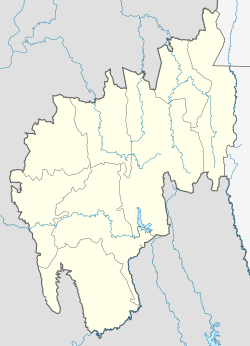
Melaghar is a Municipal town in Sipahijala district in the Indian state of Tripura, situated about 50 kms(approx.) from capital Agartala. It is neighbour to Sonamura. It contains a Hospital, Police station, 2 Major Schools, few Primary schoos and a Town Hall. The famous Water Palace Neermahal is located in this town.
Melaghar
[edit]Melaghar | |
|---|---|
Town | |
| Coordinates: 23°30′N 91°20′E / 23.50°N 91.33°E | |
| Country | |
| State | Tripura |
| District | Sipahijala district |
| Elevation | 15 m (49 ft) |
| Population (2011) | |
| • Total | 18,970 |
| Languages | |
| • Official | Bengali, Kokborok, English |
| Time zone | UTC+5:30 (IST) |
Melaghar is a Municipal town in Sipahijala district in the Indian state of Tripura, situated about 50 kms(approx.) from capital Agartala. It is neighbour to Sonamura. It contains a Hospital, Police station, 2 Major Schools, few Primary schoos and a Town Hall. The famous Water Palace Neermahal is located in this town.

