
User:Sengkang/Gallery/Southern Islands Planning Area
< User:Sengkang | Gallery
This is a catalogue of photographs that I have taken of Singapore geographical features, infrastructure and buildings in my leisure time. All images shown may be used anywhere in Wikipedia. Do drop me a note at my talk page if you intend to use them for other purposes. Thanks!
Southern Islands Planning Area
[edit]

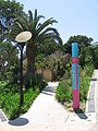
Allanbrooke Road
[edit]-
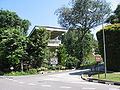 Allanbrooke Road
 -
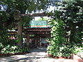
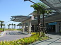
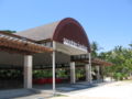
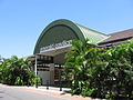
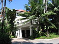 Sentosa Office
 -
 Sentosa Office
 -
 Sentosa Office


Artillery Avenue
[edit]

Dolphin Lagoon
[edit]
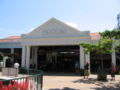
Ferry Terminal
[edit]


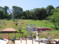
Fountain Gardens
[edit]


Gateway
[edit]-
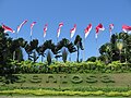 Gateway Avenue
 -
 Gateway Avenue
 -
 Gateway Avenue
 -
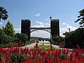
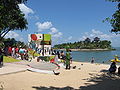
 Group Arrival Centre


Imbiah Lookout
[edit]


Butterfly Park and Insect Kingdom
[edit]


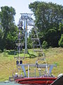
Cable Car
[edit]-
 Cable Car Arrival Plaza


Images of Singapore
[edit]


Sentosa Luge and Skyride
[edit]-

-

-

-
 Sentosa Luge
 -
 Sentosa Skyride
 -
 Sentosa Skyride


The Merlion
[edit]


-

-

-

-

-
 Animal and Bird Encounters
 -
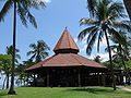
 Palawan Amphitheatre
 -
-

-
-
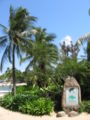
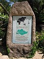
 Southernmost Point of Continental Asia
 -
 Southernmost Point of Continental Asia
 -
 Southernmost Point of Continental Asia
 -
 Southernmost Point of Continental Asia


Riverboat
[edit]

-

-
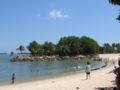
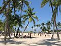
 Beach Station
 -
 Beach Station


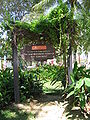
Sentosa Orchid Gardens
[edit]
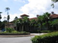
Shangri-La's Rasa Sentosa Resort
[edit]


-

-

-

-

-

-
-

-

-

-

-
-

-

-
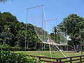 The Flying Trapeze
 -

-
 Sapphire Pavilion
 -

-
 Emerald Pavilion
 -
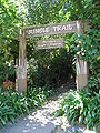 Jungle Trail
 -
-


Siloso Road
[edit]-

-
 Jungle Trail
 -
 Nature Walk and Dragon Trail


Tanjong Golf Course
[edit]
The Sentosa Resort and Spa
[edit]-

-

-
 Spa Botanica
 -
 Spa Botanica


