User:Jarda2020/2022 Gisborne earthquake
| UTC time | 2022-01-08 13:28:44 |
|---|---|
| USGS-ANSS | ComCat |
| Local date | 9 January 2022 |
| Local time | 1:28:44 am NZST |
| Magnitude | 7.1 Mw |
| Depth | 13 km (8 mi) |
| Epicentre | 38°39′S 178°00′E / 38.65°S 178°E |
| Type | Oblique-slip |
| Areas affected | New Zealand |
| Max. intensity | MMI V (Moderate) |
| Tsunami | No |
| Landslides | Yes |
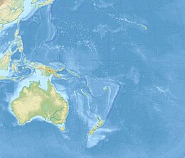
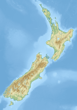
The 2022 Gisborne earthquake was an earthquake measuring 7.1 on the moment magnitude scale that occurred at 01:28:44 NZST on 9 January 2022 (13:28:44 UTC 8 January). The epicentre was located 285 km (177 mi) north-east of Gisborne off the East Cape of the North Island of New Zealand with a focal depth of 13 km (8 mi). The earthquake was widely felt throughout the North Island and in the upper South Island. There were no reported casualties, and buildings predominantly suffered only a little bit of damage.
Tectonic setting
[edit]The Kermadec-Tonga subduction zone runs east of the Kermadec Islands and marks the boundary between the Australian and Pacific plates. This convergent boundary is where the denser Pacific Plate subducts or dives beneath the less dense Australian Plate
Earthquake
[edit]| Date and time (UTC) | Location | M | MMI | Ref |
|---|---|---|---|---|
| 2022-01-05 17:15:29 | 211 km NE of Gisborne | 5.0 | III | |
| 2022-01-07 23:54:12 | 169 km SE of Gisborne | 5.6 | VI | |
| 2022-01-08 13:28:44 | 285 km NE of Gisborne | 7.1 | V | |
| 2022-01-08 15:57:29 | 187 km SSE of Gisborne | 5.2 | IV | |
| 2022-01-08 16:19:58 | 48 km SSW of Gisborne | 5.5 | VI | |
| 2022-01-08 20:59:59 | 58 km SSE of Gisborne | 5.3 | V | |
| 2022-01-09 05:40:16 | 221 km NE of Gisborne | 5.3 | VI | |
| 2022-01-10 06:47:16 | 19 km SE of Gisborne | 5.9 | VII | |
| 2022-01-10 09:19:27 | 24 km SE of Gisborne | 5.8 | V |


