User:Auric/Moresby Island, New Guinea
Appearance
| This is not a Wikipedia article: It is an individual user's work-in-progress page, and may be incomplete and/or unreliable. For guidance on developing this draft, see Wikipedia:So you made a userspace draft. Find sources: Google (books · news · scholar · free images · WP refs) · FENS · JSTOR · TWL |
 | |
| Geography | |
|---|---|
| Location | New Guinea |
| Coordinates | 9°26′36″S 147°02′15″E / 9.4432842078791°S 147.03744337088673°E |
| Width | 36 mi (58 km) |
| Highest elevation | 1,600 ft (490 m) |
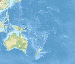
Moresby Island in an island in New Guinea.[1]
History
[edit]Moresby Island was discovered by Captain Moresby and the Officers of HMS Basilisk (1848). The island was located near the present-day Port Moresby. Other islands in the archipelago were named Basilisk Island, Hayter Island and Heath Island, and Glenton Island (600 ft tall). A bay named Sir Alexander Milne Bay, about 12 to 18 miles in breadth, and 45 miles deep separated them from the mainland.
References
[edit]- ^ Moresby, J. (1874). "Discoveries in Eastern New Guinea, by Captain Moresby and the Officers of H. M. S. Basilisk" (PDF). Proceedings of the Royal Geographical Society of London. 19 (3): 225–244. doi:10.2307/1799940. JSTOR 1799940.
External links
[edit]


