Tystigbreen
Appearance
| Tystigbreen | |
|---|---|
 View of the glacier | |
| Location | Vestland and Innlandet, Norway |
| Coordinates | 61°55′N 07°22′E / 61.917°N 7.367°E |
| Area | 21 km2 (8.1 sq mi) |
| Highest elevation | 1,833 metres (6,014 ft) |
| Lowest elevation | 1,288 metres (4,226 ft) |
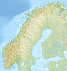
Tystigbreen is a glacier that is located on the border between Vestland and Innlandet counties in Norway. The 21-square-kilometre (8.1 sq mi) glacier is located in the municipalities of Stryn and Skjåk, about 10 kilometres (6.2 mi) east of the lake Oppstrynsvatnet. The Norwegian National Road 15 passes the northwest side of the glacier. The mountains Kvitlenova and Mårådalsfjellet lie on the east side of the glacier. A summer ski center is located at the glacier.[1]
See also
[edit]References
[edit]- ^ Henriksen, Petter (ed.). "Tystigbreen". Store norske leksikon (in Norwegian). Oslo: Kunnskapsforlaget. Retrieved 27 August 2011.


