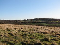
Tylers Common
Appearance
| Tylers Common | |
|---|---|
 Tylers Common | |
 | |
| Type | Common land |
| Coordinates | 51°35′31″N 0°15′32″E / 51.592°N 0.259°E |
| Area | 79.2 acres (0.321 km2) |
| Operated by | Havering London Borough Council |
| Open | All year |
Tylers Common, also known as Upminster Common, is common land in the London Borough of Havering. It is one of the largest areas of common land in Greater London, with 32.06 hectares (79.2 acres) of protected commons.[1]
References
[edit]- ^ "Common Land and the Commons Act 2006". Defra. 13 November 2012. Retrieved 3 February 2013.


