Trebova Planina
Appearance
| Trebova | |
|---|---|
| Trebova Planina | |
| Highest point | |
| Elevation | 1,872 m (6,142 ft) |
| Coordinates | 43°23′8.06″N 18°37′4.51″E / 43.3855722°N 18.6179194°E |
| Geography | |
| Location | Bosnia and Herzegovina |
| Parent range | Dinaric Alps |
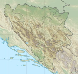
Trebova Planina (Serbian Cyrillic: Требова) is a mountain[1] [2] in Zelengora mountain range in the Sutjeska National Park in the municipality of Foča, Republika Srpska, Bosnia and Herzegovina.[3] It has an altitude of 1,872 metres (6,142 ft). [4]
See also
[edit]References
[edit]- ^ Trebova Planina Geoview.info
- ^ Trebova Planina (Bosnia and Herzegovina) - Historical maps arcanum.com
- ^ Trebova Planina, Republika Srpska, Bosnia and Herzegovina Mindat.org
- ^ "Statistical Yearbook of the Federation of Bosnia and Herzegovina" (PDF). Federation of Bosnia and Herzegovina, Federal Office of Statistics. 2009. p. 28. Archived from the original (PDF) on 2011-06-29.

