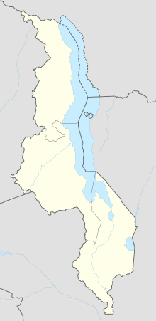
Sucoma Airport
Appearance
Sucoma Airport | |||||||||||
|---|---|---|---|---|---|---|---|---|---|---|---|
| Summary | |||||||||||
| Airport type | Public | ||||||||||
| Serves | Nchalo | ||||||||||
| Elevation AMSL | 225 ft / 69 m | ||||||||||
| Coordinates | 16°16′05″S 34°52′35″E / 16.26806°S 34.87639°E | ||||||||||
| Map | |||||||||||
 | |||||||||||
| Runways | |||||||||||
| |||||||||||
Sucoma Airport (ICAO: FWSU) is an airport serving the Nchalo Sugar Estate and the town of Nchalo, Republic of Malawi. The runway marked length is 800 meters (2620 feet), but it has overruns totals 1190 meters (3900 feet).
See also
[edit]References
[edit]- ^ Airport information for FWSU at Great Circle Mapper.
- ^ Google Maps Sucoma
- Google Earth
External links
[edit]

