Spermezeu
Appearance
Spermezeu | |
|---|---|
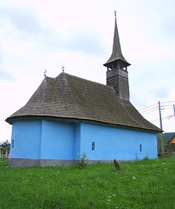
 Wooden church in Spermezeu | |
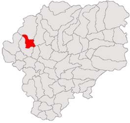
 Location in Bistrița-Năsăud County | |
| Coordinates: 47°18′N 24°9′E / 47.300°N 24.150°E | |
| Country | Romania |
| County | Bistrița-Năsăud |
| Government | |
| • Mayor (2020–2024) | Sorin Hognogi (PNL) |
Area | 69.64 km2 (26.89 sq mi) |
| Elevation | 342 m (1,122 ft) |
| Population (2021-12-01)[1] | 3,445 |
| • Density | 49/km2 (130/sq mi) |
| Time zone | EET/EEST (UTC+2/+3) |
| Postal code | 427275 |
| Area code | +40 x59 |
| Vehicle reg. | BN |
| Website | comunaspermezeu |
Spermezeu (Hungarian: Ispánmező) is a commune in Bistrița-Năsăud County, Transylvania, Romania. It is composed of eight villages: Dobricel (Kisdebrek), Dumbrăvița (Dögmező), Hălmăsău (Helmesaljavölgy), Lunca Borlesei, Păltineasa (Jávorvölgy), Sita (Szita), Spermezeu, and Șesuri Spermezeu-Vale (Síktelep). Dobricel and Dumbrăvița were part of Căianu Mic Commune until 2004.
The commune is situated in a hilly area at the northern edge of the Transylvanian Plateau, on the banks of the river Ilișua. It is located in the western part of Bistrița-Năsăud County, about 21 km (13 mi) from the town of Beclean and 46 km (29 mi) from the county seat, Bistrița.


