Sokolohirne
Appearance
Sokolohirne
Сокологірне | |
|---|---|
 Railway station Sokolohirne | |
| Coordinates: 46°29′58″N 34°56′44″E / 46.499444°N 34.945556°E | |
| Country | |
| Oblast | |
| Raion | Henichesk Raion |
| Founded | 1874 |
| Area | |
• Total | 6.43 km2 (2.48 sq mi) |
| Elevation | 24 m (79 ft) |
| Population | |
• Total | 790 |
| • Density | 120/km2 (320/sq mi) |
| Time zone | UTC+2 (EET) |
| • Summer (DST) | UTC+3 (EEST) |
| Postal code | 75521 |
| Area code | +380 5534 |
 | |
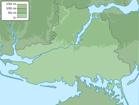
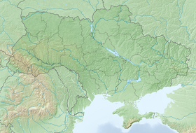
Sokolohirne (Ukrainian: Сокологірне; Russian: Сокологорное) is a village in Henichesk Raion (district) in Kherson Oblast of southern Ukraine, at about 178.9 kilometres (111.2 mi) east by south (EbS) of the centre of Kherson city. It belongs Henichesk urban hromada, one of the hromadas of Ukraine.
The village was captured by Russian forces in 2022, during the Russian invasion of Ukraine.
References
[edit]- ^ "Офіційна сторінка Всеукраїнського перепису населення | Банк даних" [All-Ukrainian population census | Database]. ukrcensus.gov.ua (in Ukrainian). Retrieved 27 October 2022.


