Sharneyford
Appearance
This article needs additional citations for verification. (November 2007) |
| Sharneyford | |
|---|---|
 Todmorden Road (A681) | |
Location within Lancashire | |
| OS grid reference | SD881243 |
| District | |
| Shire county | |
| Region | |
| Country | England |
| Sovereign state | United Kingdom |
| Post town | BACUP |
| Postcode district | OL13 |
| Dialling code | 01706 |
| Police | Lancashire |
| Fire | Lancashire |
| Ambulance | North West |
| UK Parliament | |
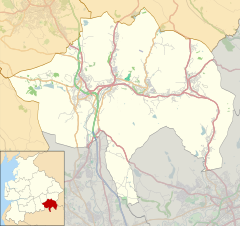
Sharneyford is a hamlet in Lancashire, England, on the A681 road between Bacup and Todmorden. It is home to one of the smallest schools in Britain,[citation needed] Sharneyford Primary School. Sharneyford Mill, located north of the school, was once the highest in England, at around 1,250 feet (380 m) above sea level;[1] it has now been demolished. Further up the hill there was a chapel, which was replaced by church further down the hill; the chapel became an engine-house for the railway that provided transport to and from the mill, when the mill was destroyed, the engine-house was emptied and abandoned.
References
[edit]- ^ Newbigging, Thomas (1893). History of the forest of Rossendale. J.J. Riley. p. 269. Retrieved 26 May 2012.
sharneyford mill.
External links
[edit]![]() Media related to Sharneyford at Wikimedia Commons
Media related to Sharneyford at Wikimedia Commons


