Shap Fells
| Site of Special Scientific Interest | |
| Location | Cumbria |
|---|---|
| Grid reference | NY 548 087 |
| Coordinates | 54°28′18″N 2°41′56″W / 54.47164°N 2.698957°W |
| Area | 5,206.1 acres (21.07 km2; 8.135 sq mi) |
| Notification | 1988 |
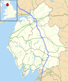
Shap Fells is a Site of Special Scientific Interest part of which is within the Lake District National Park in Cumbria, England. It is located near the eastern boundary of the park, with one section to the west of the A6 road and another section to the east of this road.[1] Throughout the protected area there are areas of blanket bog. Shap Fells was designated as a Site of Special Scientific Interest because of the range of acid grassland types, the diversity of upland birds and also because
of geological features. Shap Pink Quarry is included in the western section of this protected area
Cumbria Wildlife Trust has been involved in restoring the hydrology of Shap Fells in order to restore the peatland.[2]
Part of the land designated as Shap Fells Site of Special Scientific Interest is owned by United Utilities.[3]
References
[edit]- ^ "SSSI detail". designatedsites.naturalengland.org.uk. Retrieved 2024-09-29.
- ^ "Shap Fells Peatland Restoration | Cumbria Wildlife Trust". www.cumbriawildlifetrust.org.uk. Retrieved 2024-09-29.
- ^ "Mapping the habitats of England's ten largest institutional landowners". Who owns England?. 2020-10-06. Retrieved 2024-09-29.


