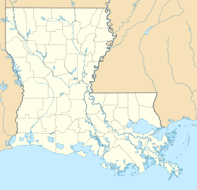
Russell Sage Wildlife Management Area
Appearance
| Russell Sage Wildlife Management Area | |
|---|---|
IUCN category V (protected landscape/seascape) | |
| Location | Caldwell, Morehouse, Ouachita, and Richland Parishes, Louisiana |
| Coordinates | 32°27′56″N 91°57′32″W / 32.46556°N 91.95889°W |
| Area | 38,213 acres (154.64 km2) |
| Established | 1960 (original 15,000 acres) |
| Governing body | Louisiana Department of Wildlife and Fisheries |
| www | |
Russell Sage Wildlife Management Area, also referred to as Russell Sage WMA, is a 38,213-acre (15,464 ha)[1] protected area in Caldwell, Morehouse, Ouachita, and Richland Parishes, Louisiana. It was the first WMA owned by the Louisiana Department of Wildlife and Fisheries upon purchasing 15,000 acres of property in 1960. The WMA is located about seven miles east of Monroe and 10 miles west of Rayville. The 2,767-acre Kennedy Tract was purchased in 2015.[2] There are 2,955 acres owned by the U.S. Army Corps of Engineers, 1,240 acres owned by the Ouachita Parish School Board, and 13,332 acre Ouachita WMA that was consolidated in 2015.[3][4][5]
See also
[edit]References
[edit]- ^ "Russell Sage". Louisiana Department of Wildlife and Fisheries. Retrieved 2024-04-17.
- ^ The News Star: Purchase expands Russell Sage WMA- Retrieved 2017-07-17
- ^ Louisiana Sportsman: Russell Sage and Ouachita WMAs to be consolidated- Retrieved 2017-07-17
- ^ LDWF: Russell Sage WMA- Retrieved 2017-07-17
- ^ Russell Sage WMA Map- Retrieved 2017-07-17


