Romeral (volcano)
Appearance
| Romeral | |
|---|---|
| Volcán Romeral | |
 Romeral | |
| Highest point | |
| Elevation | 3,858 m (12,657 ft) |
| Listing | Volcanoes of Colombia |
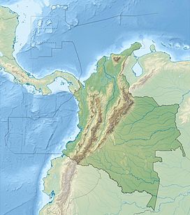
| Coordinates | 5°12′22″N 75°21′50″W / 5.20611°N 75.36389°W |
| Geography | |
| Location | Caldas |
| Parent range | Central Ranges, Andes |
| Geology | |
| Rock age | Pliocene-Holocene |
| Mountain type | Andesitic-dacitic stratovolcano |
| Last eruption | 5390 BCE ± 500 years |
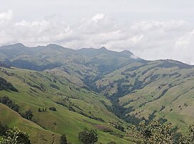
Romeral is a stratovolcano located in Caldas, Colombia. It is the northernmost Holocene volcano of South America, of the North Volcanic Zone in the Andean Volcanic Belt. The volcano was formed in the Late Pliocene, approximately 3 million years ago.[1]
See also
[edit]References
[edit]- ^ Bohórquez et al., 2005, p.72
Bibliography
[edit]- Bohórquez, O.P.; Monsalve, M.L.; Velandia, F.; Gil, F.; Mora, H. (2005), "Marco tectónico de la cadena volcánica más septentrional de la Cordillera Central de Colombia", Boletín de Geología, Universidad Industrial de Santander, 27: 55–79, retrieved 2017-06-09
External links
[edit]


