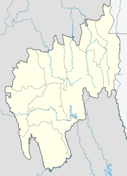
Rangamura
Appearance
Rangamura | |
|---|---|
village | |
| Coordinates: 23°15′47″N 91°19′44″E / 23.263°N 91.329°E | |
| Country | |
| State | Tripura |
| Languages | |
| • Official | Bengali, Kokborok, English |
| Time zone | UTC+5:30 (IST) |
| Vehicle registration | TR |
| Website | tripura |
Rangamura is a village situated on the hills of Boromura range in Tripura, India. The populace consists of tribes like Kuki, Hrangkhawl, Koloi, Tripuri, Kaipeng and others.[1]
It is 3 km away from Tuichindrai, the nearest point on National Highway 44. An Assam Rifles colony is being set up in Rangamura.[1]
References
[edit]

