Privlaka, Vukovar-Syrmia County
Appearance
Privlaka | |
|---|---|
 | |
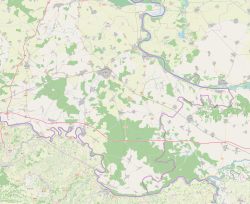
| Coordinates: 45°11′40″N 18°50′16″E / 45.194339°N 18.837753°E | |
| Country | |
| Region | Syrmia (Spačva basin) |
| County | |
| Area | |
| • Municipality | 52.4 km2 (20.2 sq mi) |
| • Urban | 52.4 km2 (20.2 sq mi) |
| Population (2021)[2] | |
| • Municipality | 2,192 |
| • Density | 42/km2 (110/sq mi) |
| • Urban | 2,192 |
| • Urban density | 42/km2 (110/sq mi) |
| Website | opcina-privlaka |
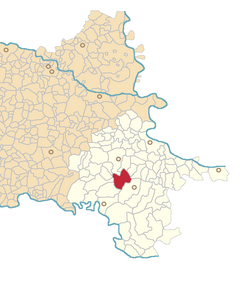
Privlaka (Hungarian: Perlaka, German: Wrevilack) is a village in Croatia. It located in eastern Slavonia region, 12 km south of the town of Vinkovci. In the 2001 census, there were 3,776 inhabitants, of which 98.68% Croats.
History
[edit]One Scordisci archaeological site in Privlaka dating back to late La Tène culture was excavated in the 1970s and 1980s as a part of rescue excavations in eastern Croatia.[3] Archaeological site was a part of the settlement network of Scordisci in the area of Vinkovci.[3]
References
[edit]- ^ Register of spatial units of the State Geodetic Administration of the Republic of Croatia. Wikidata Q119585703.
- ^ "Population by Age and Sex, by Settlements" (xlsx). Census of Population, Households and Dwellings in 2021. Zagreb: Croatian Bureau of Statistics. 2022.
- ^ a b Dizdar, Marko (2016). "Late La Tène Settlements in the Vinkovci Region (Eastern Slavonia, Croatia): Centres of Trade and Exchange" (PDF). Boii - Taurisci: Proceedings of the International Seminar, Oberleis-Klement, June 14th-15th, 2012. Austrian Academy of Sciences Press: 31–48. Retrieved 22 January 2019.


