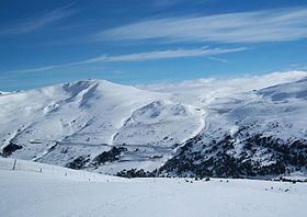
Port d'Envalira
Appearance
| Port d'Envalira | |
|---|---|
| Envalira Pass (in English) | |
 Port d'Envalira | |
| Elevation | 2408 m |
| Location | Encamp, Andorra |
| Range | Pyrenees |
| Coordinates | 42°32′24.2″N 1°43′10.58″E / 42.540056°N 1.7196056°E |
Port d'Envalira (el. 2408 m.) is a mountain pass in the Pyrenees in Andorra, that connects El Pas de la Casa with the rest of the country. It is the highest paved road in the Pyrenees. The climb has been featured several times at the Tour de France and Vuelta a España cycling races.
The construction of a toll tunnel to avoid the mountain pass started in 1999 and opened to traffic in 2002. The tunnel is located at an altitude of about 2000 metres and is nearly 3 kilometres long.[1]
See also
[edit]External links
[edit]- Port d'Envalira profile from Andorra la Vella - climbbybike.com
- Port d'Envalira profile from Ax les Thermes - climbbybike.com
- Port d'Envalira profile from Latour Carol - climbbybike.com
- Le Port d'Envalira dans le Tour de France (in French)
- Port d'Envalira on Google Maps (Tour de France classic climbs)

