Peiwar Pass
Appearance
| Peiwar Pass | |
|---|---|
 "Guns captured at the Peiwar Kotal and parked at Kohat" photograph by John Burke (photographer) during the Second Anglo-Afghan War | |
| Location | Afghanistan–Pakistan border |
| Range | Hindu Kush |
| Coordinates | 33°58′9″N 69°52′21″E / 33.96917°N 69.87250°E |
 | |
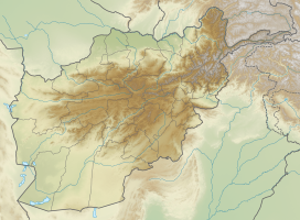
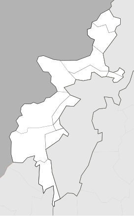
The Peiwar Kotal Pass, also spelled Paywar, is a mountain pass in the Kurram Valley that connects Paktia Province in Afghanistan to Kurram District in the Khyber Pakhtunkhwa province of Pakistan.
In November 1878, during the Second Anglo-Afghan War, Peiwar Kotal was the site of a battle between British-led forces under Sir Frederick Roberts and Afghan forces. Roberts outmaneuvered the Afghans and secured a British victory and control of the pass.[1]
See also
[edit]References
[edit]- ^ Byron Farwell. Queen Victoria's Little Wars. pp. 203–204. Published Allen Lane, London. 1973. ISBN 0713904577.


