Pančevo Airport
Pančevo Airport Аеродром Панчево Aerodrom Pančevo | |||||||||||
|---|---|---|---|---|---|---|---|---|---|---|---|
| Summary | |||||||||||
| Airport type | Civil | ||||||||||
| Serves | Pančevo, Serbia | ||||||||||
| Elevation AMSL | 77 m / 253 ft | ||||||||||
| Coordinates | 44°54′08″N 020°38′07″E / 44.90222°N 20.63528°E | ||||||||||
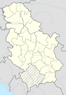
| Map | |||||||||||
 | |||||||||||
| Runways | |||||||||||
| |||||||||||
Pančevo Airport (Аеродром Панчево or Aerodrom Pančevo) (ICAO: LYPA) is an airport near the city of Pančevo, Serbia near Belgrade. The airport is mostly used for general aviation operations. It has a single grass runway 1,000 metres long and 60 metres wide.
The airport is also used by Utva Aviation Industry, a manufacturer of light sporting and training aircraft also located in Pančevo, for testing its aircraft.
History
[edit]On 15 March 1923, aircraft of the Franko-Rumen company started operations from Pančevo airport. A few days later on 25 March, services between Paris and Istanbul via Pančevo commenced, the first international flights to or from Belgrade. On 9 September the same year, the first aircraft took off on a scheduled service from Belgrade to Bucharest. This was also the first commercial night flight in the history of aviation. CFRNA (Compagnie franco-roumaine de navigation aérienne) decided that flying at night was the only way for its aircraft operating on the Paris-Belgrade-Bucharest-Istanbul service to beat the famous Orient Express train to Istanbul.
Franco-Roumaine changed its name to CIDNA (Compagnie internationale de navigation aérienne) in 1925, which used Pančevo Airport until May 1927.
See also
[edit]References
[edit]External links
[edit]

