Ontake Prefectural Natural Park
Appearance
| Ontake Prefectural Natural Park | |
|---|---|
| 御岳県立自然公園 | |
IUCN category IV (habitat/species management area) | |
 | |
| Location | Nagano Prefecture, Japan |
| Coordinates | 35°53′39″N 137°28′41″E / 35.89417°N 137.47806°E |
| Area | 190.46 square kilometres (73.54 sq mi) |
| Established | 3 March 1952 |
 | |
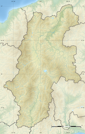
Ontake Prefectural Natural Park (御岳県立自然公園, Ontake kenritsu shizen kōen) is a Prefectural Natural Park in western Nagano Prefecture, Japan. [1] Established in 1952, the park's central feature is Mount Ontake. The park spans the borders of the municipalities of Kiso and Ōtaki.[2][3]

See also
[edit]References
[edit]- ^ "Ontake". Protected Planet. Retrieved 11 June 2021.
- ^ 自然公園指定状況一覧 [List of designated natural parks] (PDF) (in Japanese). Nagano Prefecture. Archived from the original (PDF) on 20 June 2012. Retrieved 25 April 2012.
- ^ "Map of natural parks in Nagano Prefecture" (PDF) (in Japanese). Nagano Prefecture. Archived from the original (PDF) on 21 April 2012. Retrieved 25 April 2012.
External links
[edit]- (in Japanese) Map of the parks of Nagano Prefecture[permanent dead link]
Wikimedia Commons has media related to Mount Ontake.


