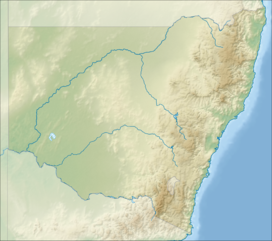
One Tree Hill (Blue Mountains)
Appearance
| One Tree Hill | |
|---|---|
| Highest point | |
| Elevation | 1,112 m (3,648 ft) |
| Coordinates | 33°35′43″S 150°15′26″E / 33.595318°S 150.257279°E |
| Geography | |
| Location | Mount Victoria, New South Wales, Australia |
| Parent range | Blue Mountains Range |
One Tree Hill is a mountain peak at Mount Victoria in the Blue Mountains of New South Wales.[1]
References
[edit]- ^ New South Wales Office of Environment and Heritage - Mv001 : Trig Station http://www.environment.nsw.gov.au/heritageapp/ViewHeritageItemDetails.aspx?ID=1170206
External links
[edit]

