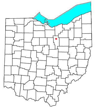
Nankin, Ohio
Appearance

Nankin is an unincorporated community and Census-designated place in southern Orange Township, Ashland County, Ohio, United States.[1] It has a post office with the ZIP code 44848.[2] It lies at the intersection of State Routes 58 and 302 and is near U.S. 250.
History
[edit]Nankin was originally called Orange, and under the latter name was laid out in 1828.[3] A post office called Nankin has been in operation since 1833.[4]
References
[edit]- ^ U.S. Geological Survey Geographic Names Information System: Nankin, Ohio
- ^ "Free ZIP Code Lookup with area code, county, geocode, MSA/PMSA, population". zipinfo.com. Retrieved June 27, 2016.
- ^ Baughman, Abraham J. (1909). History of Ashland County, Ohio. S. J. Clarke Publishing Company. p. 175.
- ^ "Ashland County". Jim Forte Postal History. Retrieved December 27, 2015.
40°54′51″N 82°17′08″W / 40.91417°N 82.28556°W

