Namika La
Appearance
| Namika La | |
|---|---|
| Elevation | 3,700 m (12,139 ft) |
| Traversed by | Srinagar-Leh highway |
| Location | Ladakh, India |
| Range | Himalaya, Zanskar Range |
| Coordinates | 34°23′00″N 76°27′37″E / 34.3832°N 76.4603°E |
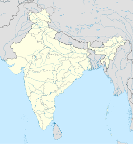
Namika La (Wylie: gnam gyi ka la; "Pillar of the Sky Pass") is a high mountain pass in the Zaskar Range of the Himalayas in Ladakh, India, at an elevation of 3,700 m or 12,139 ft.[1] It is traversed by the Srinagar-Leh highway.[2]
Namika La is one of two high passes between Kargil and Leh. The other is the even higher Fotu La Pass.[1]
The western approach to the pass is via the Wakha Rong valley, making a detour to a waterless branch valley of it above the village of Mulbekh. To the east of the pass is another branch valley (Saraks Lungpa) of the Sangeluma river valley in the vicinity of Bodh Karbu.[3]
References
[edit]- ^ a b Hilary Keating (July–August 1993). "The Road to Leh". Saudi Aramco World. 44 (4). Houston, Texas: Aramco Services Company: 8–17. ISSN 1530-5821. Retrieved 29 June 2009.
- ^ Jina, Prem Singh (31 August 1998). Ladakh: The Land & The People. India: Indus Publishing. p. 24. ISBN 978-81-7387-057-6.
- ^ Rizvi, Janet (1996), Ladakh: Crossroads of High Asia (Second ed.), Oxford University Press, pp. 20–21, ISBN 978-0-19-564016-8 – via archive.org


