Mount Saramati
Appearance
| Saramati | |
|---|---|
| Highest point | |
| Elevation | 3,841 m (12,602 ft)[1] |
| Prominence | 2,885 m (9,465 ft)[1] Ranked 113th |
| Listing | Ultra Highest peaks in Nagaland 1st |
| Coordinates | 25°44′24″N 95°2′15″E / 25.74000°N 95.03750°E[1] |
| Geography | |
| Location | India–Myanmar border |
| Parent range | Purvanchal Range[2] |
| Climbing | |
| First ascent | unknown |
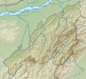
Saramati (Burmese: စာရာမေတိတောင်; IPA: [ˌsæɹəˈmɑːti]) is a peak rising above the surrounding peaks at the mountainous border of the Indian state of Nagaland and the Naga Self-Administered Zone of the Sagaing Region of Myanmar. It is located near the village of Thanamir in the Kiphire District of Nagaland.[3] it draws huge tourist to this tribal heritage rich state and is popularly known as the Crown of Nagaland.
Geography
[edit]It has a height of 3,826 metres (12,552 ft) and a prominence of 2,885 metres (9,465 ft). Saramati is one of the ultra-prominent peaks of Southeast Asia.[4] It forms a natural boundary between India and Myanmar.
See also
[edit]References
[edit]- ^ a b c "Burma and Eastern India - 19 Mountain Summits with Prominence of 1,500 meters or greater". Peaklist.org. Retrieved 29 December 2011.
- ^ The new encyclopaedia Britannica
- ^ Kasho, Inakavi (13 November 2022). "Must visit villages in Nagaland: Kisama, Tuophema, Khonoma and more". Eastern Mirror. Retrieved 3 June 2024.
- ^ "Saramati, Myanmar/India". Peakbagger.com. Retrieved 29 August 2014.


