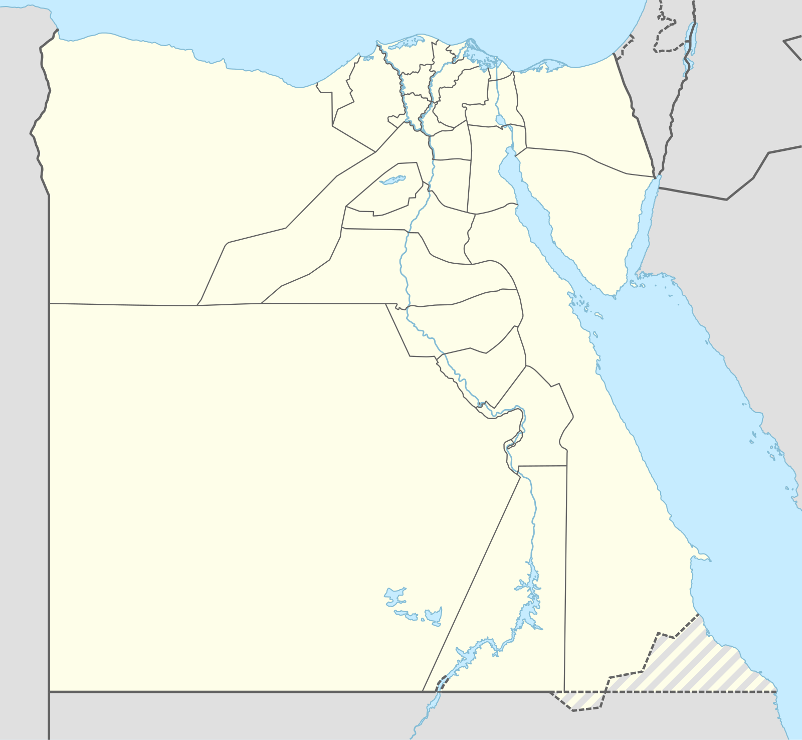
Module:Egyptian insurgency detailed map/doc
Appearance
For quick reference, this module is transcluded on the following:
[edit]
Bir Hamisa
Hod el-Sagia
Hod el-Sagia
Matalla
Al Firdan
Abou Sultan
Agrod
Adabiya
Ras Abu Rudeis
Zaafarana
Ras Matarma
Nabq
Hasna
Hold cursor over location to display name; click to go to location row in the "table of cities and towns" (if available).
2 nested circles: Controlled by inner, but under siege by outer
Large circle with different icons inside: Situation in military/economic installations in and around city
 Under control of the Egypt Arab Republic & Multinational Force and Observers
 Under control of the Sinai Province (ISIL)
 Under control of Islamists (not ISIL-related, eg. Soldiers of Egypt, Al-Qaeda in Sinai Peninsula, Ansar al-Sharia and Al Furqan Brigades)
 Under control of Muslim Brotherhood of Egypt
 Under control of Tobruk-led Libyan Government / Sudanese Government
Contested
 Egyptian Government & UN Vs. ISIL, MSC & affiliated groups
 Egyptian Government & UN Vs. non-ISIL islamists
 Egyptian Government & UN Vs. Muslim Brotherhood
 Egyptian Government & UN Vs. Sudanese Government
Other


 Army base


 Airport or air base (jet)


 Airport or air base (helicopter)
 Major port, naval base, or oil terminal
 Border post
 Dam
Dam Industrial complex or oilfield
Rural presence
 Presence of Egyptian Army
 Presence of the Islamic State of Iraq and the Levant
 Presence of non-ISIL Islamists
 Presence of Muslim Brotherhood
2 nested circles: Controlled by inner, but under siege by outer
Large circle with different icons inside: Situation in military/economic installations in and around city
