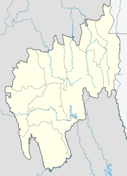
Melaghar Block
Appearance
This article has multiple issues. Please help improve it or discuss these issues on the talk page. (Learn how and when to remove these messages)
|
Melaghar Block | |
|---|---|
Block | |
| Coordinates: 23°29′49″N 91°19′52″E / 23.497°N 91.331°E | |
| Country | |
| Region | North-Eastern |
| State | Tripura |
| District | Sipahijala district |
| Area | |
| • Total | 212.87 km2 (82.19 sq mi) |
| Elevation | 11 m (36 ft) |
| Population (2011) | |
| • Total | 121,474 |
| • Density | 571/km2 (1,480/sq mi) |
| Languages | |
| • Official | Bengali, English |
| • Max. Spoken Language | Bengali, Kokborok, Hindi |
| Time zone | UTC+5:30 (IST) |
| PIN | 799115, 799131 |
| Vehicle registration | TR 01 XX YYYY, TR 07 XX YYYY |
| Website | tripura |
Melaghar block is a developing block in Sepahijala district in the Indian state of Tripura, located about 50 km from the capital Agartala.


